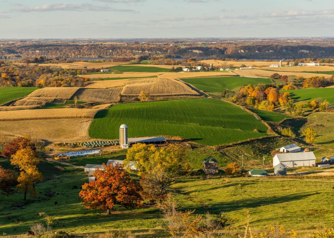
Most rural counties in Connecticut
A surprising number of U.S. counties have 100% rural land-702, in fact. compiled a list of the most rural counties in Connecticut using data from the . Counties are ranked by the percent of land area that is rural, as of the 2010 Census, with ties broken by residents per square mile, according to 2020 5-year population estimates.
According to the Census Bureau, rural land encompasses any land that isn't an urban area. To be considered an urban area, a place has to have a densely settled core of census tracts or blocks and count at least 2,500 people, at least 1,500 of whom must be residents of non-institutional buildings. Areas with 50,000 people or more are considered urbanized areas, while areas with between 2,500 and 50,000 people are considered urban clusters.
#8. New Haven County
- Rural area: 27.7% (167 square miles)
- Urban area: 72.3% (437 square miles)
- Total land area: 605 square miles
--- #5 largest county in state, #1,609 nationwide
- Population density: 1,415.6 people / square mile (855,733 residents)
--- #7 lowest density county in state, #3,037 nationwide
#7. Fairfield County
- Rural area: 29.2% (182 square miles)
- Urban area: 70.8% (443 square miles)
- Total land area: 625 square miles
--- #4 largest county in state, #1,542 nationwide
- Population density: 1,511.2 people / square mile (944,306 residents)
--- #8 lowest density county in state, #3,045 nationwide
#6. Hartford County
- Rural area: 37.9% (279 square miles)
- Urban area: 62.1% (457 square miles)
- Total land area: 735 square miles
--- #2 largest county in state, #1,202 nationwide
- Population density: 1,213.7 people / square mile (892,153 residents)
--- #6 lowest density county in state, #3,018 nationwide
#5. Middlesex County
- Rural area: 70.1% (259 square miles)
- Urban area: 29.9% (110 square miles)
- Total land area: 369 square miles
--- #8 largest county in state, #2,632 nationwide
- Population density: 440.7 people / square mile (162,742 residents)
--- #5 lowest density county in state, #2,850 nationwide
#4. New London County
- Rural area: 77.0% (512 square miles)
- Urban area: 23.0% (153 square miles)
- Total land area: 665 square miles
--- #3 largest county in state, #1,414 nationwide
- Population density: 401.4 people / square mile (266,868 residents)
--- #4 lowest density county in state, #2,827 nationwide
#3. Tolland County
- Rural area: 78.9% (324 square miles)
- Urban area: 21.1% (87 square miles)
- Total land area: 410 square miles
--- #7 largest county in state, #2,462 nationwide
- Population density: 368.0 people / square mile (150,947 residents)
--- #3 lowest density county in state, #2,790 nationwide
#2. Litchfield County
- Rural area: 89.8% (827 square miles)
- Urban area: 10.2% (94 square miles)
- Total land area: 921 square miles
--- #1 largest county in state, #794 nationwide
- Population density: 196.8 people / square mile (181,143 residents)
--- #1 lowest density county in state, #2,589 nationwide
#1. Windham County
- Rural area: 90.9% (466 square miles)
- Urban area: 9.1% (47 square miles)
- Total land area: 513 square miles
--- #6 largest county in state, #2,030 nationwide
- Population density: 227.4 people / square mile (116,657 residents)
--- #2 lowest density county in state, #2,636 nationwide