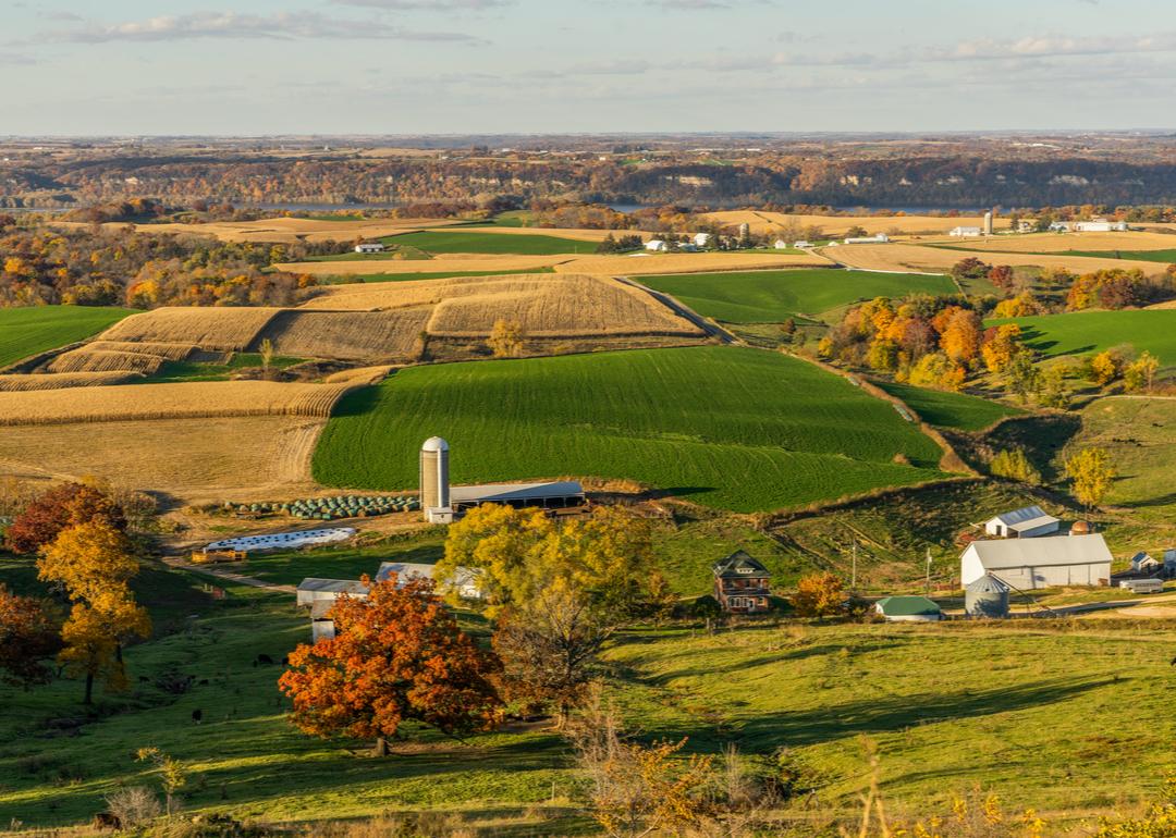
Most rural counties in New Hampshire
A surprising number of U.S. counties have 100% rural land-702, in fact. compiled a list of the most rural counties in New Hampshire using data from the . Counties are ranked by the percent of land area that is rural, as of the 2010 Census, with ties broken by residents per square mile, according to 2020 5-year population estimates.
According to the Census Bureau, rural land encompasses any land that isn't an urban area. To be considered an urban area, a place has to have a densely settled core of census tracts or blocks and count at least 2,500 people, at least 1,500 of whom must be residents of non-institutional buildings. Areas with 50,000 people or more are considered urbanized areas, while areas with between 2,500 and 50,000 people are considered urban clusters.
#10. Rockingham County
- Rural area: 62.7% (436 square miles)
- Urban area: 37.3% (259 square miles)
- Total land area: 695 square miles
--- #7 largest county in state, #1,345 nationwide
- Population density: 443.6 people / square mile (308,211 residents)
--- #9 lowest density county in state, #2,853 nationwide
#9. Hillsborough County
- Rural area: 77.5% (679 square miles)
- Urban area: 22.5% (197 square miles)
- Total land area: 876 square miles
--- #5 largest county in state, #922 nationwide
- Population density: 474.0 people / square mile (415,305 residents)
--- #10 lowest density county in state, #2,868 nationwide
#8. Strafford County
- Rural area: 83.6% (309 square miles)
- Urban area: 16.4% (60 square miles)
- Total land area: 369 square miles
--- #10 largest county in state, #2,634 nationwide
- Population density: 352.8 people / square mile (130,161 residents)
--- #8 lowest density county in state, #2,780 nationwide
#7. Merrimack County
- Rural area: 94.3% (880 square miles)
- Urban area: 5.8% (54 square miles)
- Total land area: 934 square miles
--- #3 largest county in state, #764 nationwide
- Population density: 161.5 people / square mile (150,902 residents)
--- #7 lowest density county in state, #2,509 nationwide
#6. Belknap County
- Rural area: 96.3% (385 square miles)
- Urban area: 3.8% (15 square miles)
- Total land area: 400 square miles
--- #9 largest county in state, #2,526 nationwide
- Population density: 152.8 people / square mile (61,174 residents)
--- #6 lowest density county in state, #2,482 nationwide
#5. Sullivan County
- Rural area: 97.9% (526 square miles)
- Urban area: 2.1% (11 square miles)
- Total land area: 537 square miles
--- #8 largest county in state, #1,943 nationwide
- Population density: 80.3 people / square mile (43,173 residents)
--- #4 lowest density county in state, #2,097 nationwide
#4. Cheshire County
- Rural area: 97.9% (692 square miles)
- Urban area: 2.1% (15 square miles)
- Total land area: 707 square miles
--- #6 largest county in state, #1,306 nationwide
- Population density: 107.6 people / square mile (76,040 residents)
--- #5 lowest density county in state, #2,307 nationwide
#3. Grafton County
- Rural area: 98.8% (1,689 square miles)
- Urban area: 1.2% (20 square miles)
- Total land area: 1,709 square miles
--- #2 largest county in state, #350 nationwide
- Population density: 52.9 people / square mile (90,331 residents)
--- #3 lowest density county in state, #1,736 nationwide
#2. Carroll County
- Rural area: 99.2% (923 square miles)
- Urban area: 0.8% (8 square miles)
- Total land area: 931 square miles
--- #4 largest county in state, #770 nationwide
- Population density: 52.0 people / square mile (48,461 residents)
--- #2 lowest density county in state, #1,725 nationwide
#1. Coos County
- Rural area: 99.7% (1,789 square miles)
- Urban area: 0.3% (5 square miles)
- Total land area: 1,795 square miles
--- #1 largest county in state, #330 nationwide
- Population density: 17.5 people / square mile (31,486 residents)
--- #1 lowest density county in state, #812 nationwide